

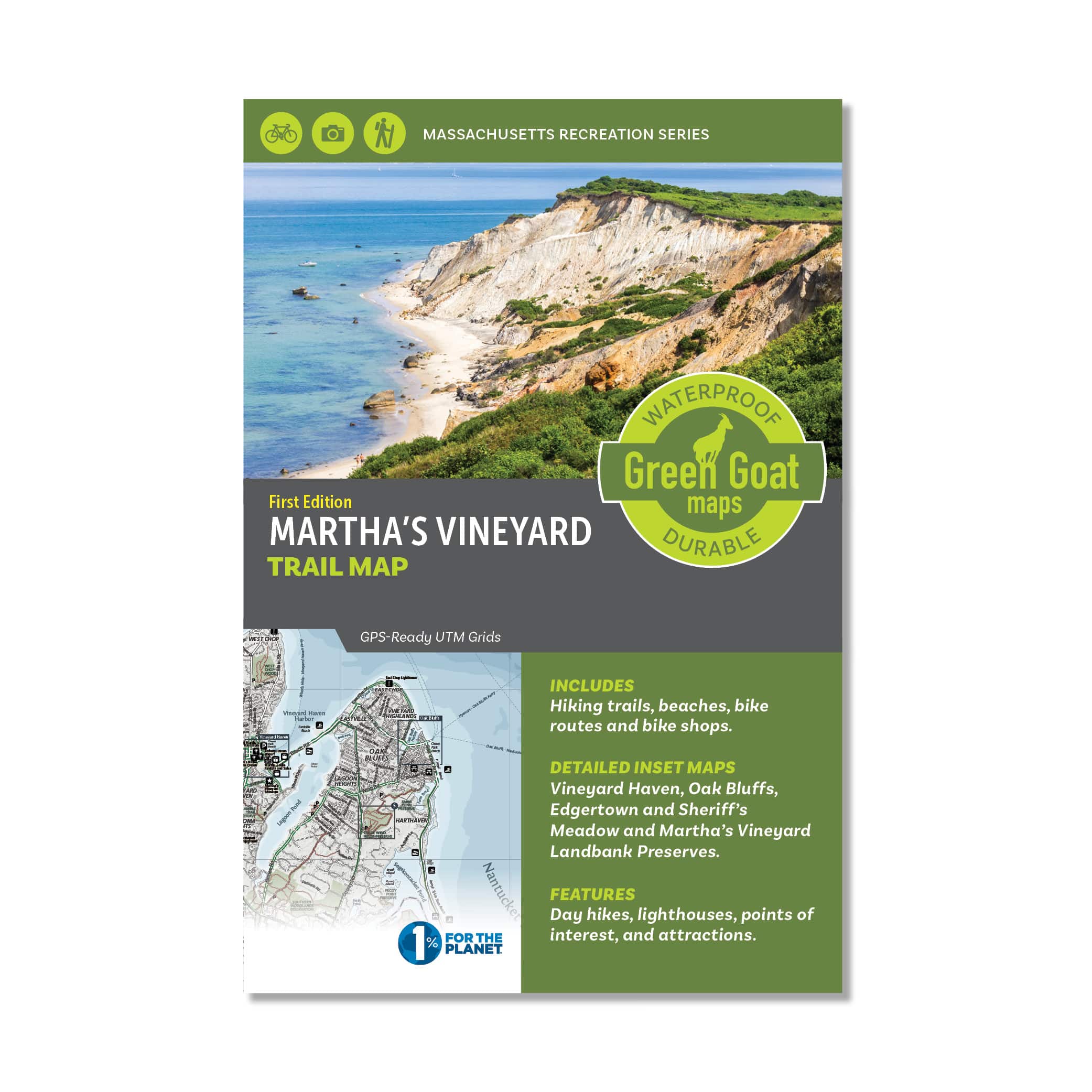


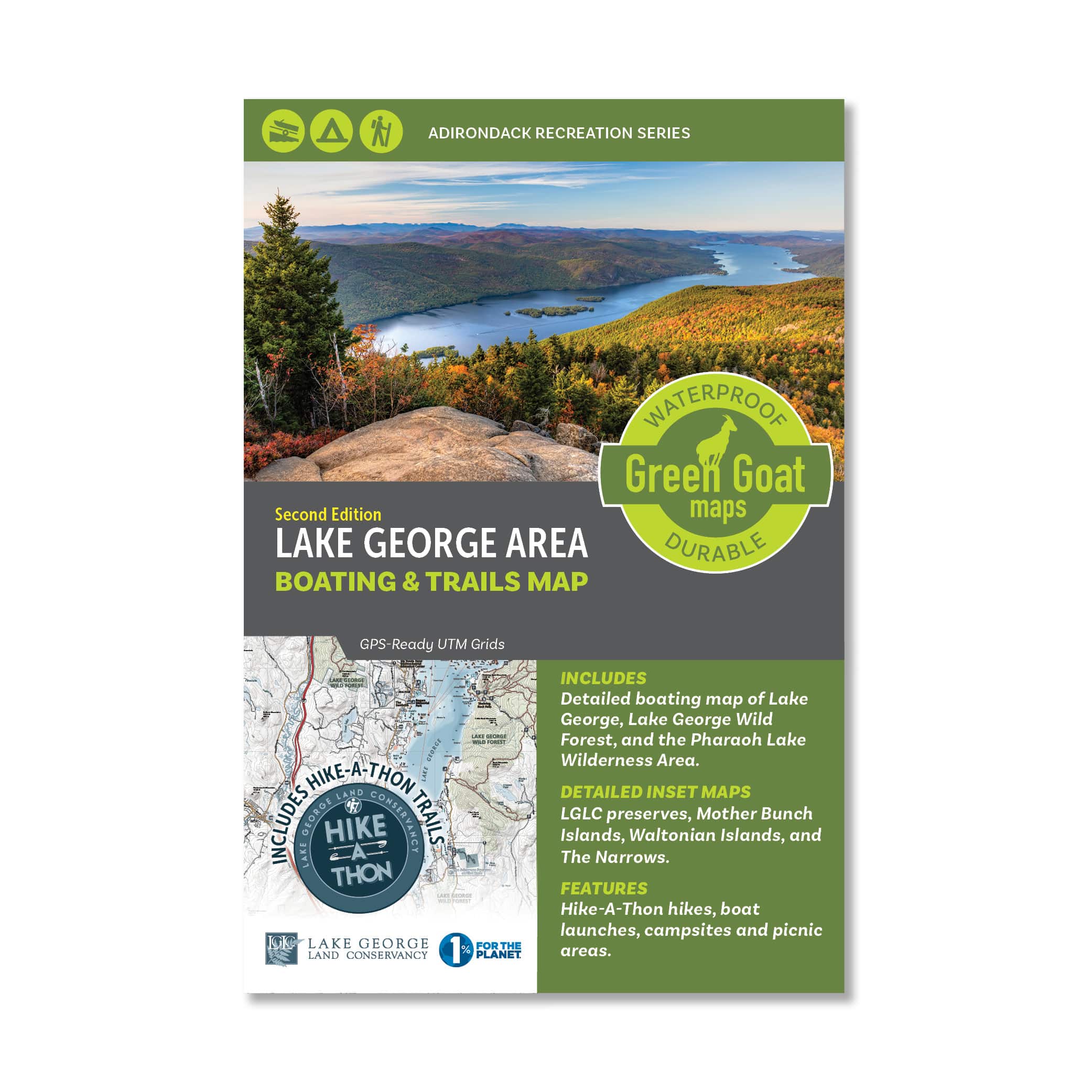
Martha’s Vineyard Trail Map
$12.95
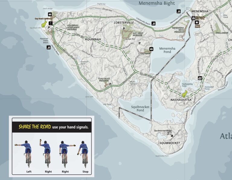
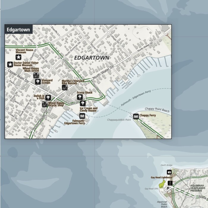
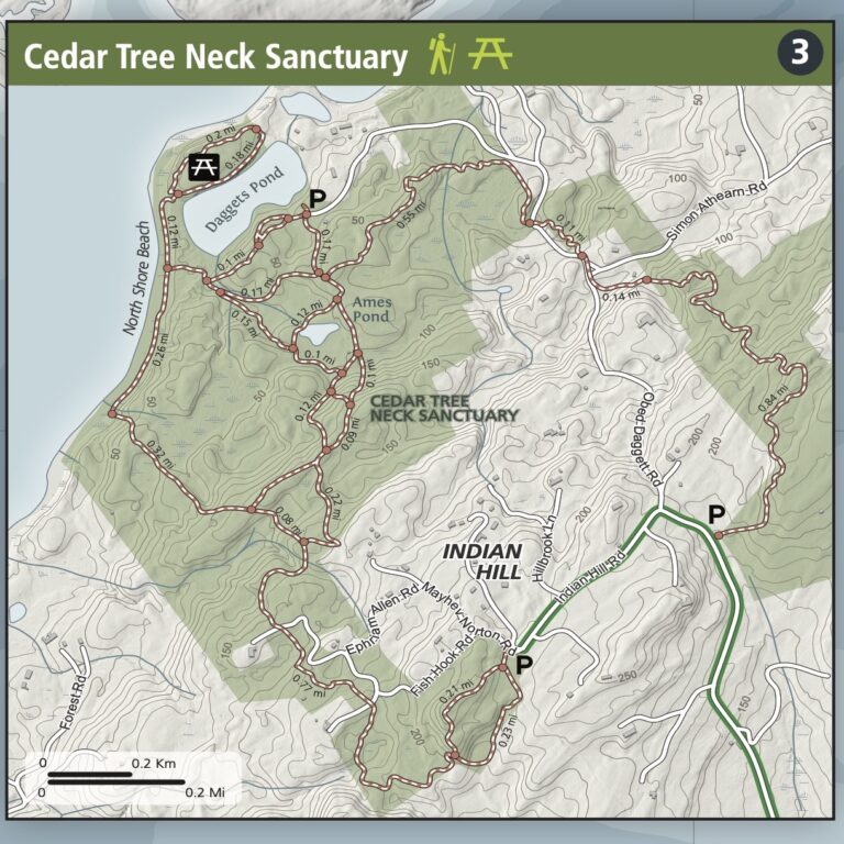
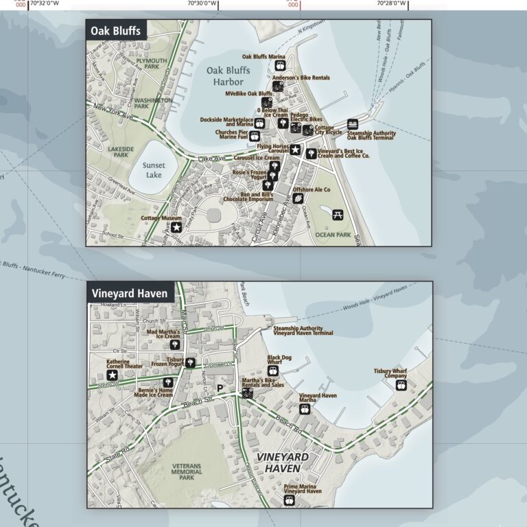
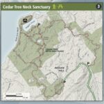
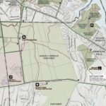
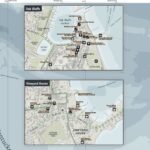
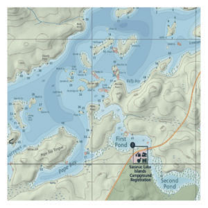
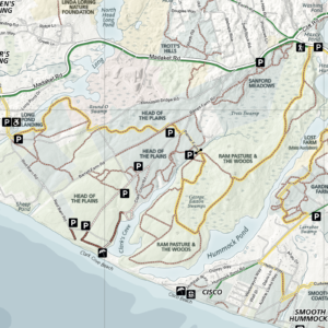
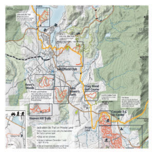
The Martha’s Vineyard map features day hikes, lighthouses, beaches, bike routes, bike shops, and ice cream shops. It includes detailed insets of hiking trails in the Caroline Tuthill Preserve, Menemsha Hills Reservation, Cedar Tree Neck Sanctuary, and the Peaked Hill Reservation. In addition, detailed insets of Edgartown, Oak Bluffs, and Vineyard Haven help you explore towns on the island as well!
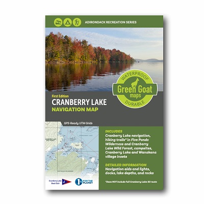
All of our maps have an ecological focus. This map highlights invasive species prevention and Leave No Trace principles. Green Goat Maps gives 1% back to nonprofits through 1% for the Planet.
Made in the USA.
- Map Highlights
- 100% satisfaction return policy
- Description
- Reviews (0)
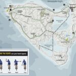
- Lighthouses, beaches, bike routes, bike shops, hiking trails
- Ocean depth, conserved land, state forest, wetland
- Campgrounds, ferries, bike ferries, marinas
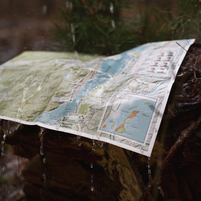
- Printed on durable, high-quality waterproof material
We know you’ve got a lot going on, whether you’re planning a trip or gathering equipment for your Saturday family adventure. Don’t worry – we’ve got you covered. If this map isn’t perfect for your adventure, just let us know and we’ll refund your payment or send you a different map. We want you to be successful out there! Take a moment to view our shipping and returns policy.
Description
Printed on waterproof HopSyn material. Durable and tear-resistant. Made in the USA:
Cartography done in New York, printing done in Colorado. Map measures 18×24” unfolded, 4×6” folded
Green Goat mappers are researchers at heart! Check out our partner company Adirondack Research to see all of the other environmental research and GIS mapping projects we are working on.


Reviews
There are no reviews yet.