


- Description
- Additional information
- Reviews (0)
Description
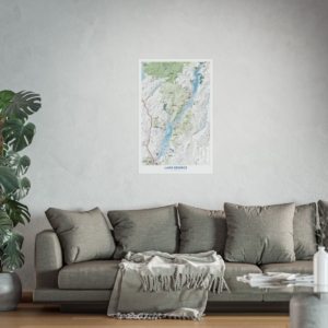
Rolled Wall Map
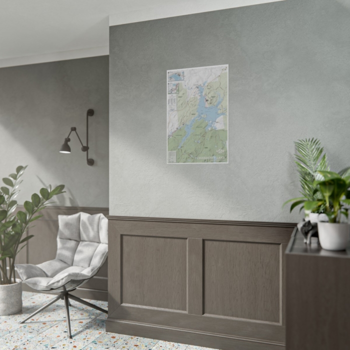
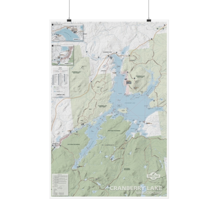
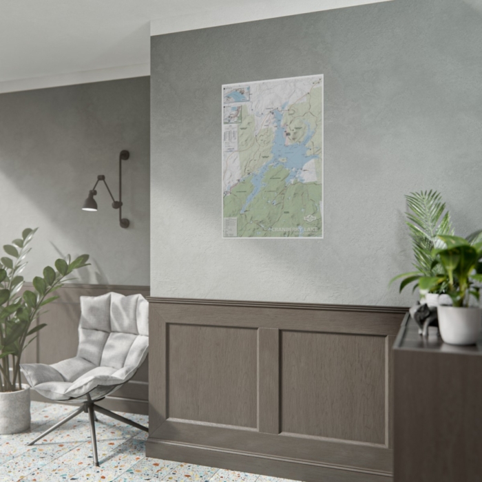
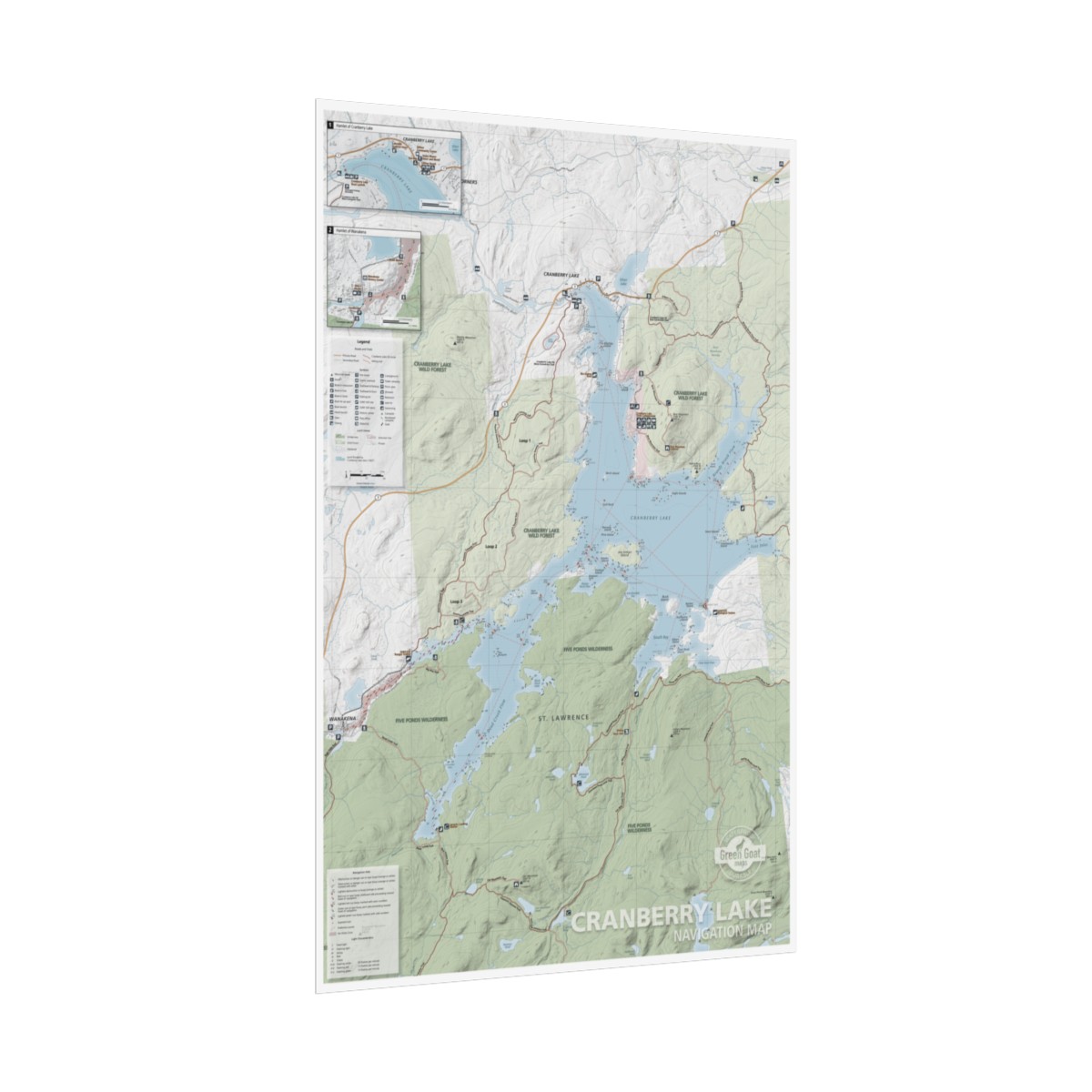
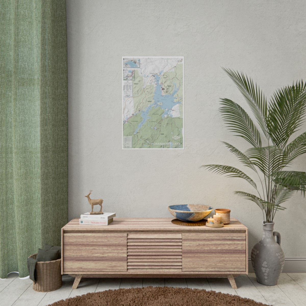
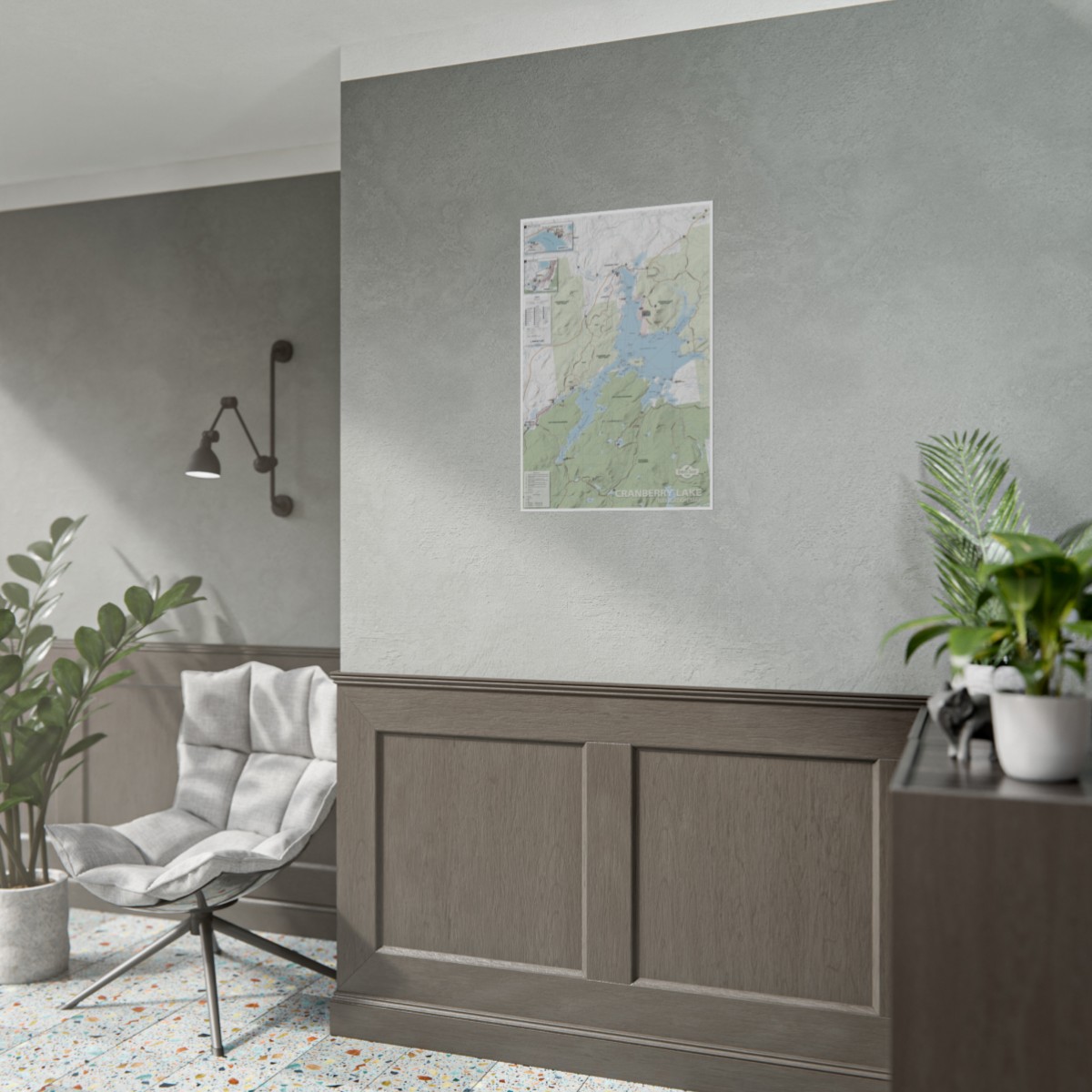
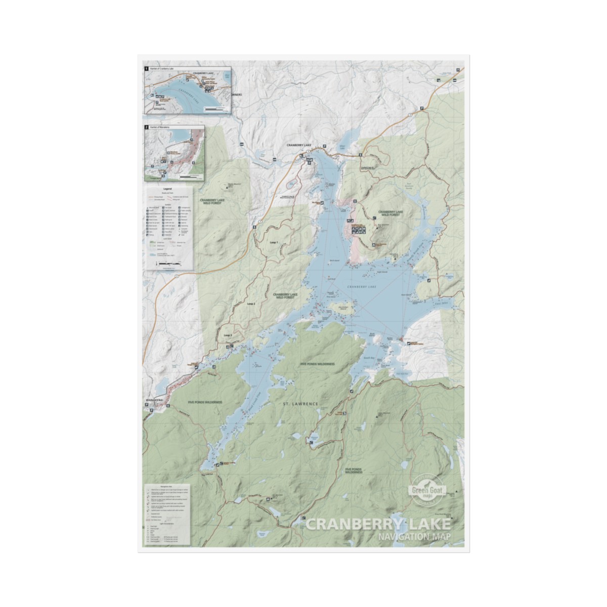
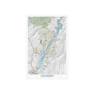
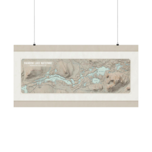
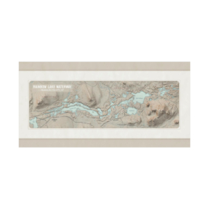
The Cranberry Lake Navigation Map was created with the support of the Cranberry Lake Boating Club and features lake navigation, hiking trails, campsites and more across the Five Ponds Wilderness and Cranberry Lake Wild Forest. Have peace of mind with detailed information of navigation aids, lights, docks, lake depth, and rocks. We believe safety comes first, our maps provide detailed safety guidelines and a list of important local contacts in case of emergency. Enjoy exploring the third largest lake in the Adirondack Park while learning a thing or two about its wildlife and history. See you on the water!
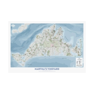
All of our maps have an ecological focus. This map highlights invasive species prevention and Leave No Trace principles. Green Goat Maps gives 1% back to nonprofits through 1% for the Planet. Made in the USA.
Choose between fine-art (310gsm) or semi-gloss paper (260gsm), and bring your artwork to life in stunning detail. Whether it’s breathtaking landscapes, or eye-capturing portraits, these rolled prints can feature it all as they come in multiple sizes as well as horizontal and vertical orientations.
.: Materials: 310 gsm paper (fine art)
.: Two sizes to choose from
| 20″ x 30″ (Vertical) | 24″ x 36″ (Vertical) | |
|---|---|---|
| Width, in | 20.00 | 24.00 |
| Height, in | 30.00 | 36.00 |
Additional information
| Weight | 5 oz |
|---|

Reviews
There are no reviews yet.