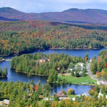
GIS Mapping in Franklin County
Ezra Schwartzberg2024-02-21T09:22:02+00:00
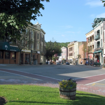
GIS Mapping for the Healthy Heart Network
Ezra Schwartzberg2024-02-21T09:24:05+00:00
Green Goat Maps Research
Ezra Schwartzberg2024-02-21T09:13:51+00:00
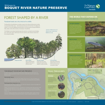
Boquet River Interpretive Signage
M G2024-02-21T09:14:02+00:00
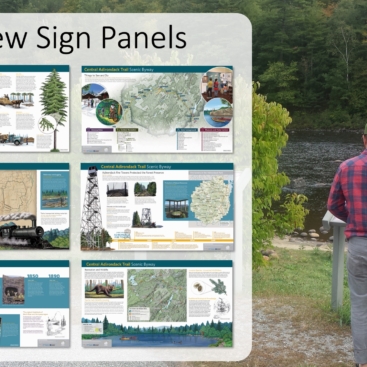
Interpreting the Hudson River & Central Adirondack Trail Scenic
M G2024-02-21T09:14:18+00:00
Working with NASA to Map Hemlocks
M G2024-02-21T09:09:32+00:00
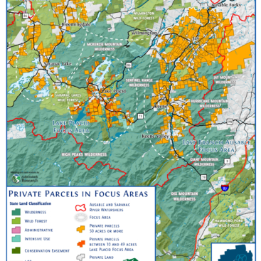
Engaging Residents in Land Conservation
M G2024-02-21T09:14:33+00:00
Using Science to Inform Boreas Ponds Classification
M G2024-02-21T09:22:59+00:00
Demonstrating Success of Invasive Species Control
M G2024-02-21T09:21:03+00:00
Discovering Opportunities for Birth to Three
M G2024-02-21T09:23:29+00:00